Old maps of Dunwich
Realistic Maps of Dunwich go back at least 420 years. These can be classified into those that are cartographically accurate, such as the First Edition Ordnance Survey maps, those that are representations of reality such as the Kirby Map of 1736, and those which are completely made up such as the Hamlet Watling Map. Unfortunately no reliable mapping exists from before 1587 so we have only documentary accounts to provide us with information on the earlier geography of the town. The initial objective of the Dunwich 2008 project was to collate and digitally capture the historic mapping and to convert this into a standard contemporary coordinate system called WGS84. The OS and Historic maps online can be used to do your own research.
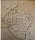
1300 Hamlet Walting Map
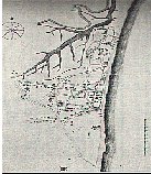
R. Agas Map 1587
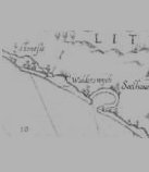
Dutch Coastal chart c. 1589
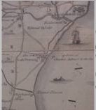
J Kirby Map 1736
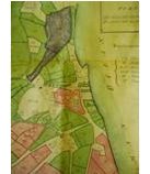
Downing Map 1800
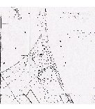
Tithe Map 1826
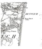
1st Edition OS Map 1889
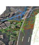
Geodata Map 2000
